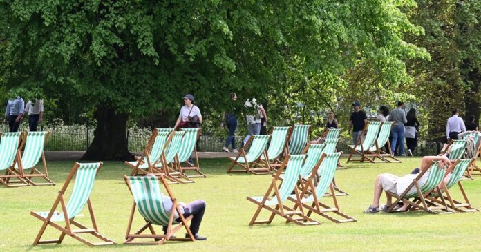
A potential late summer heatwave with temperatures reaching 26C is on the horizon for England next week, according to experts. However, only a few counties are expected to experience the heatwave, leaving many regions without the scorching conditions. The BBC Weather forecast suggests that from Monday, September 8, to Sunday, September 14, the weather will be “unsettled,” with the possibility of isolated thunderstorms and locally heavy rain. Temperatures are likely to remain slightly above the September average, with some windy conditions and sporadic rain. Towards the end of the week, there may be more rain or showers, especially in the northern and western parts of the UK. Despite the fluctuations, temperatures are expected to stay slightly above the seasonal norm.
Areas such as Oxfordshire, Leicestershire, Bedfordshire, and several other regions are anticipated to miss out on the upcoming heatwave. Netweather TV forecasts a continuation of unsettled weather patterns with the potential for named storms due to low-pressure systems interacting with the jet stream. Temperatures for the month are expected to be around the long-term average, possibly dipping below average in the first half but recovering to above average in the latter half. Rainfall is likely to be average overall, with potential for above-average precipitation in western areas.
In contrast, some parts of the UK are preparing for a sharp drop in temperatures, with forecasts indicating lows of 3C in northern England and Scotland on September 16. The coldest spots are expected to be in these regions, while the south could still experience temperatures of up to 25C in the preceding week. Detailed weather maps suggest London and the South East will see temperatures between 14C and 15C, Wales ranging from 5C to 7C, and the Midlands from 8C to 12C. Scotland, particularly Fort William, is likely to face the coldest temperatures at 3C. This shift comes after the UK endured its hottest summer on record.

