

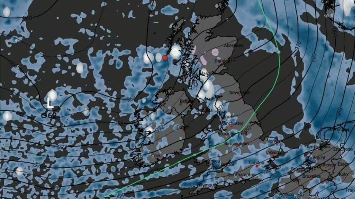

Snow is expected to fall in various regions of the country for more than 60 hours later this month, as indicated by weather maps. With temperatures dropping, snow is forecasted to arrive around midnight on December 17, covering parts of Western Scotland and extending down to North West England. By the early hours of December 18, snowfall is projected to hit Northern England, including Lancashire and Yorkshire, with Central Wales and parts of Devon likely to see snow as well. The snowy conditions are anticipated to move north to the south of Scotland by 6 am on the same morning.
On December 19 at 6 pm, Scotland and North Yorkshire may witness snowfall. However, the Met Office’s forecast differs from WXCHARTS, as it predicts snow only in northern parts of the UK from December 11 to December 20. The forecast mentions a continuation of the weather pattern seen earlier in December, with occasional spells of rain and potential strong winds. Towards the end of December and into early January, changeable conditions are expected, with low-pressure systems dominating and bringing showers or longer spells of rain, particularly in the north with possible hill snow.
Meanwhile, wet and windy conditions are set to persist into the following week, with a yellow warning for rain in place for parts of south and central England and South Wales on December 8. According to Met Office Deputy Chief Meteorologist Dan Holley, an area of low pressure approaching from the North Atlantic could deepen rapidly, leading to uncertainty in its track and potential impacts on wind strength and rainfall. This could result in flooding, travel disruptions, and strong winds, especially in northern and western parts of the UK. The Met Office continues to monitor the situation closely and may issue further warnings as needed.
In terms of the weather outlook, showers are expected to continue in the north and east, while clearer spells may lead to patchy frost elsewhere before cloud and rain return to the southwest later. The day is forecasted to start dry in the northeast with patchy fog clearing, followed by the spread of rain and blustery winds. Despite the chill in the north, milder conditions are expected in the south. Monday may bring some drier and brighter intervals, though showers remain possible. Tuesday is anticipated to be wet and very windy, with the north experiencing continued strong winds on Wednesday. Mild conditions are expected for early December.