

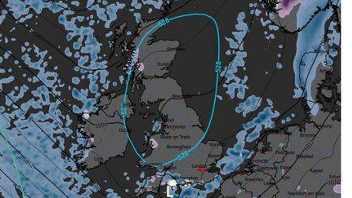

Snowfall is expected in various regions of the UK just ahead of the festive season. According to the latest projections by WXCharts, there are forecasts for snow showers in southern England, specifically in Hampshire, Dorset, and Kent.
The weather maps indicate that snow is likely to start falling during the early hours of Sunday, December 21. In Dorset, areas like Weymouth, Poole, and Bournemouth are expected to receive the heaviest snowfall, with a rate of up to 10mm per hour projected at 6am. The snowfall is anticipated to persist through the morning, with around 5cm of snow accumulation expected in Dorset by midday.
Meanwhile, Hampshire is also poised to see some snow around noon. WXCharts forecasts more substantial snowfall in the Waterlooville region of Havant, with an estimated settling of up to 2cm.
Moving towards the east, there will be scattered snowfall in Maidstone and Folkestone in Kent. The weather reports suggest a snowfall rate of up to 1mm per hour starting from midday, as indicated by the Express.
Contrary to these snow projections, the Met Office’s extended forecast from Monday, December 15, to Wednesday, December 24, does not mention any snowfall. Instead, it anticipates more rain, which could be intense and prolonged at times.
The Met Office has stated, “Some periods of drier weather are also expected, mainly in southeastern parts of the UK. There may be strong winds, particularly in the north and west, with a potential for very strong winds developing early next week.”
The upcoming days are predicted to bring frosty nights and localized fog. The Met Office foresees conditions becoming calmer in the run-up to Christmas.
These forecasts align with WXCharts’ indications that snow might arrive shortly before Christmas Day. The most recent forecasts feature a map showing areas of northern Scotland turning purple at midnight on Wednesday, December 24, signaling snowfall across the Scottish Highlands and Cairngorms National Park.
Another map suggests that snow could arrive as early as Tuesday, December 23, particularly around 6pm, affecting regions like Inverness, Fort William, the Highlands, and the Cairngorms. NetWeather also indicates a potential snow risk zone spanning nearly 400 miles, potentially reaching Northern England, although the primary impact is expected in northern Scotland.
The Met Office has previously